


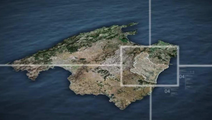
Manacor is situated in th East of Mallorca island. With its 27 km of coast and an extension of 260,22 square kilometres it is Mallorca’s second biggest district. In the interior are the towns of Manacor, Son Macià and Son Negre, and on the coast Porto Cristo and S’Illot, and the resorts of Cala Murada, Cales de Mallorca, s’Estany d’en Mas, Cala Mendia, Cala Anguila and Cala Morlanda.
Manacor is situated in th East of Mallorca island. The district extends on 260,22 square kilometres.
It borders on Felanitx in the South, on Vilafranca de Bonany in the West, in the North-West on Petra and in the North-East on Sant Llorenç des Cardassar.
In the East, the coast extends on 27 km long.ud.
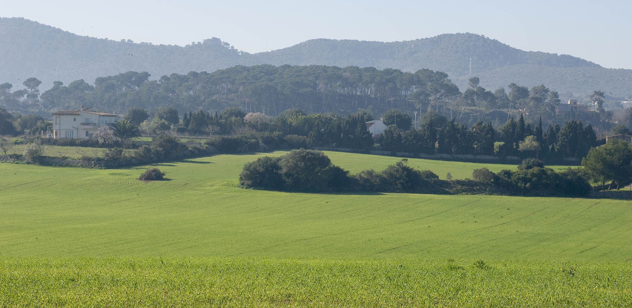
The area is quite flat. The average elevation is about 125 metres. The region is divided in three different areas:
– The area of Es Pla, where the capital town of Manacor is located, quite flat and only cut by the valley La Nou. Cereal and vineyard cultures have been grown on the calcareous reddish-brown soil.
– The sector of Sa Serra de Llevant, is characterized by its gentle elevation. The soils are weak developed and quite calcareous. It is shaped by the southwestern area of Calicant Massif, the intermediate high plateau and the mountain ranges of Llodrà and Sa Mola des Fangar.
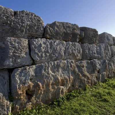
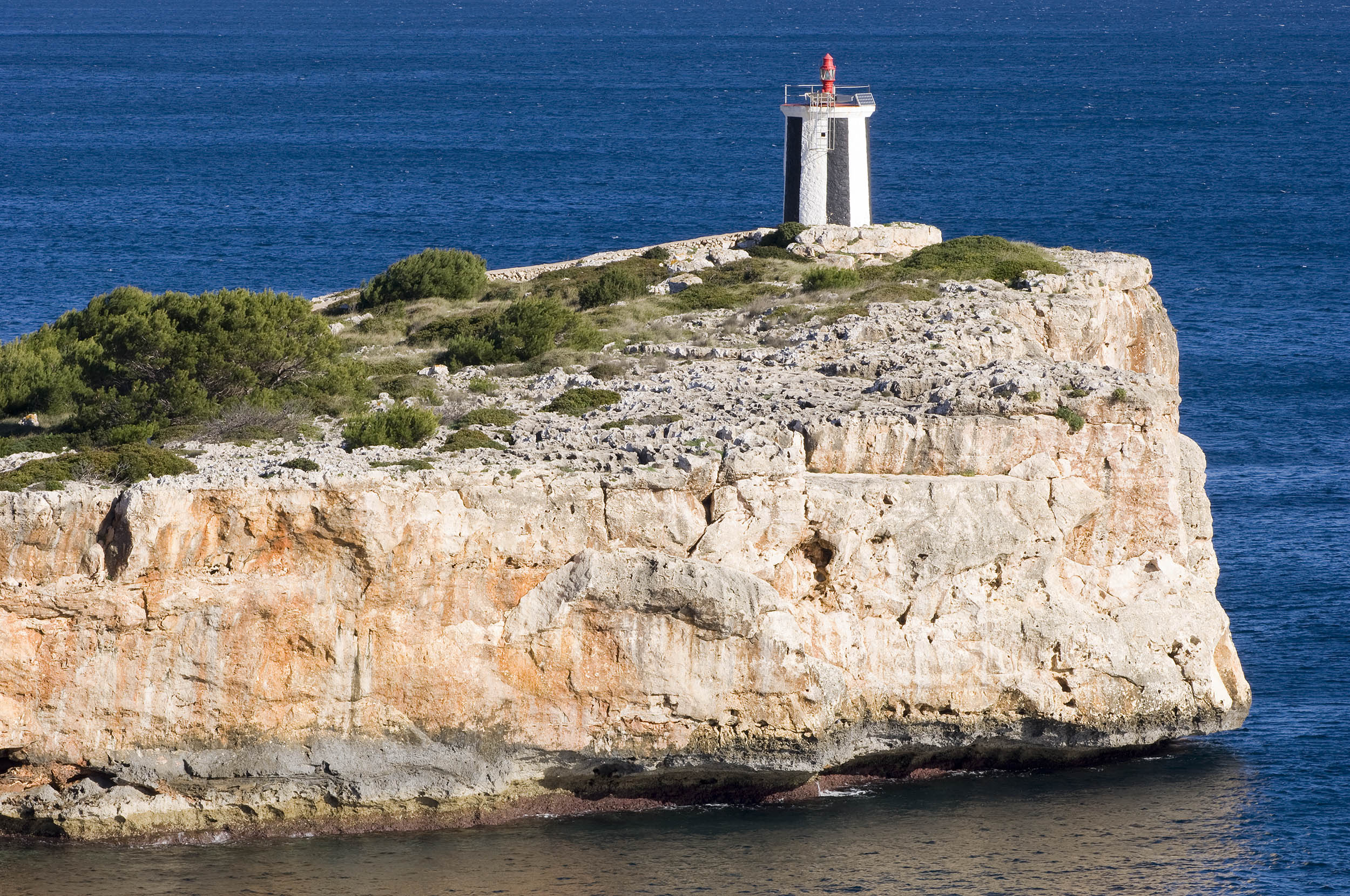
– Sa Marina, shaped by white molasse sandstones, constitutes 4-kilometres- wide platform inclined to the sea. The calcareous soils have contributed to karstic erosion by atmospheric agents, carving a large number of caves, chasms, gullies and rockfalls.
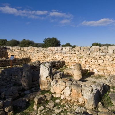
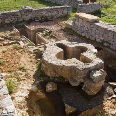
There are many natural cavities in the area, caves as the ones of “Drach”, “Hams” and the caves of the Pirate (“Coves del Pirata”).
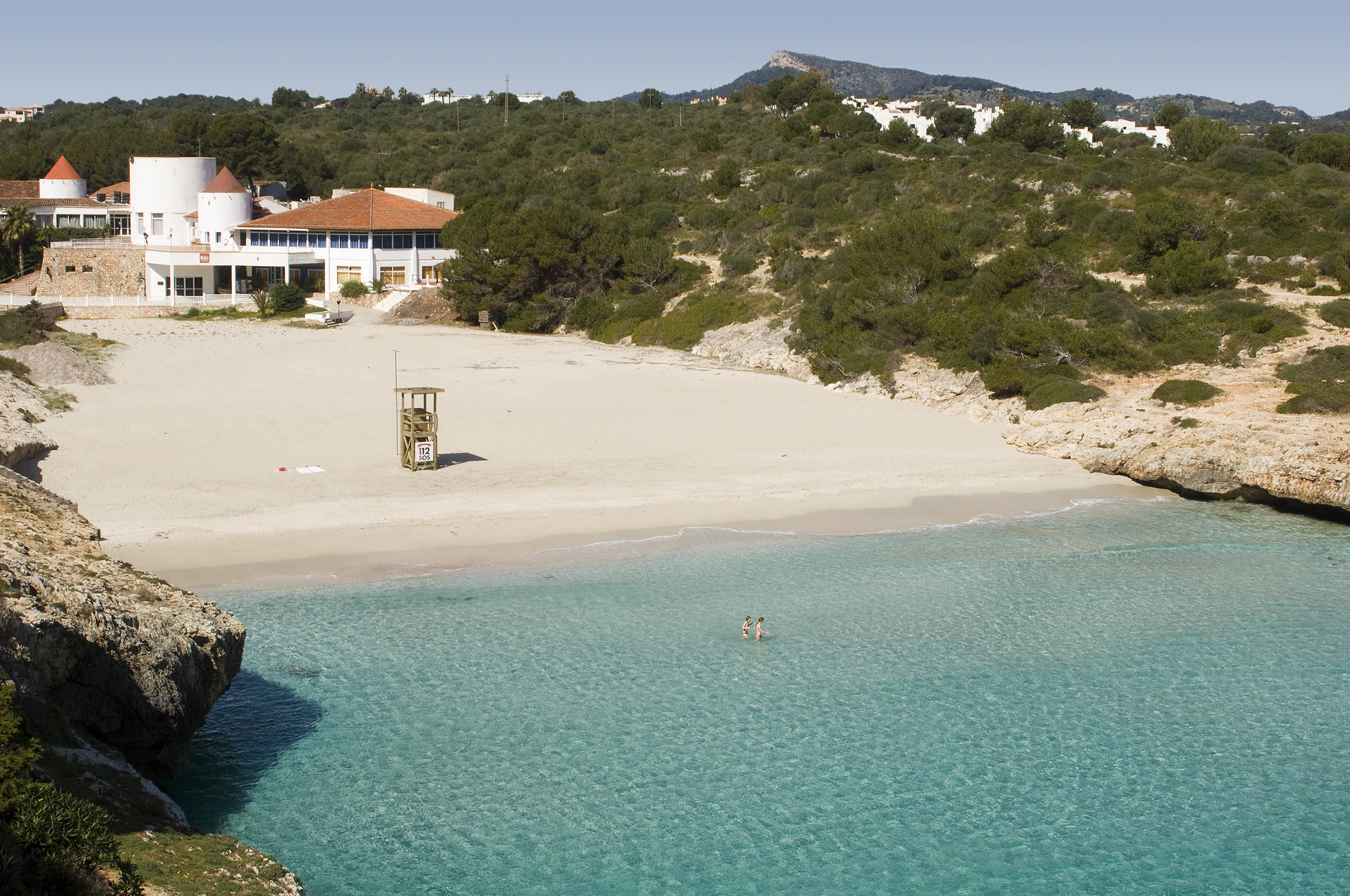
A wide range of coves embellishes Manacor’s coast: Cala Moreia, Cala Morlanda, Cala Petita, Porto Cristo, Cala Anguila, Cala Mendia, s’Estany d’en Mas, Cala Falcó, Cala Varques, Cala Sequer, Cala Magraner, Cala Virgili, Cala Bota, Cala Antena, Cala Domingos and Cala Murada.
Torrent courses constitute the hydrological base of the township. The torrents of Son Caules, Conies and Son Cifre flow into the torrent Na Borges, with an hydrographic basin of 338 square kilometres, and ending into the bay of Alcúdia. The other torrents start in the interior mountains, crossing the Marina and flow into the coast.
The climate is typically Mediterranean, mild and with thermal seasonal variation.
The mountains and the inland are sub-humid arid areas while the marine is semi-arid.
The average annual temperature is in between 16º – 17º C.
The vegetation shows the very own vegetable species of Mallorca. The forest area represents little more than 20 %. The heathland of wild olive trees and small palm trees spreads out over the marine with species like rockrose (hypericum balearicum), scrubs (lentiscus), hay (fenum), rosemary and heather. The pine grove is developed in the mountainous area and there are hardly any holm-oak woods.
On the coast we find marine fennel and gorse among others, while the marine thistle has almost disappeared from the beaches. In humid areas frequently appear tamarind and reed.
The cultivated land represents 74 % of the area.
The agricultural landscape is very fixed by the presence of almond trees, cereals and fig trees, and on a smaller way, locust and vineyard. The cultivation of vegetable is focused on melon, pepper and lettuce.
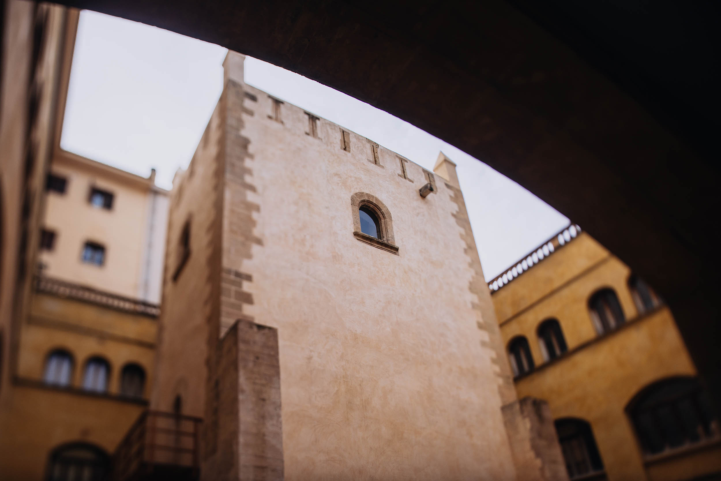
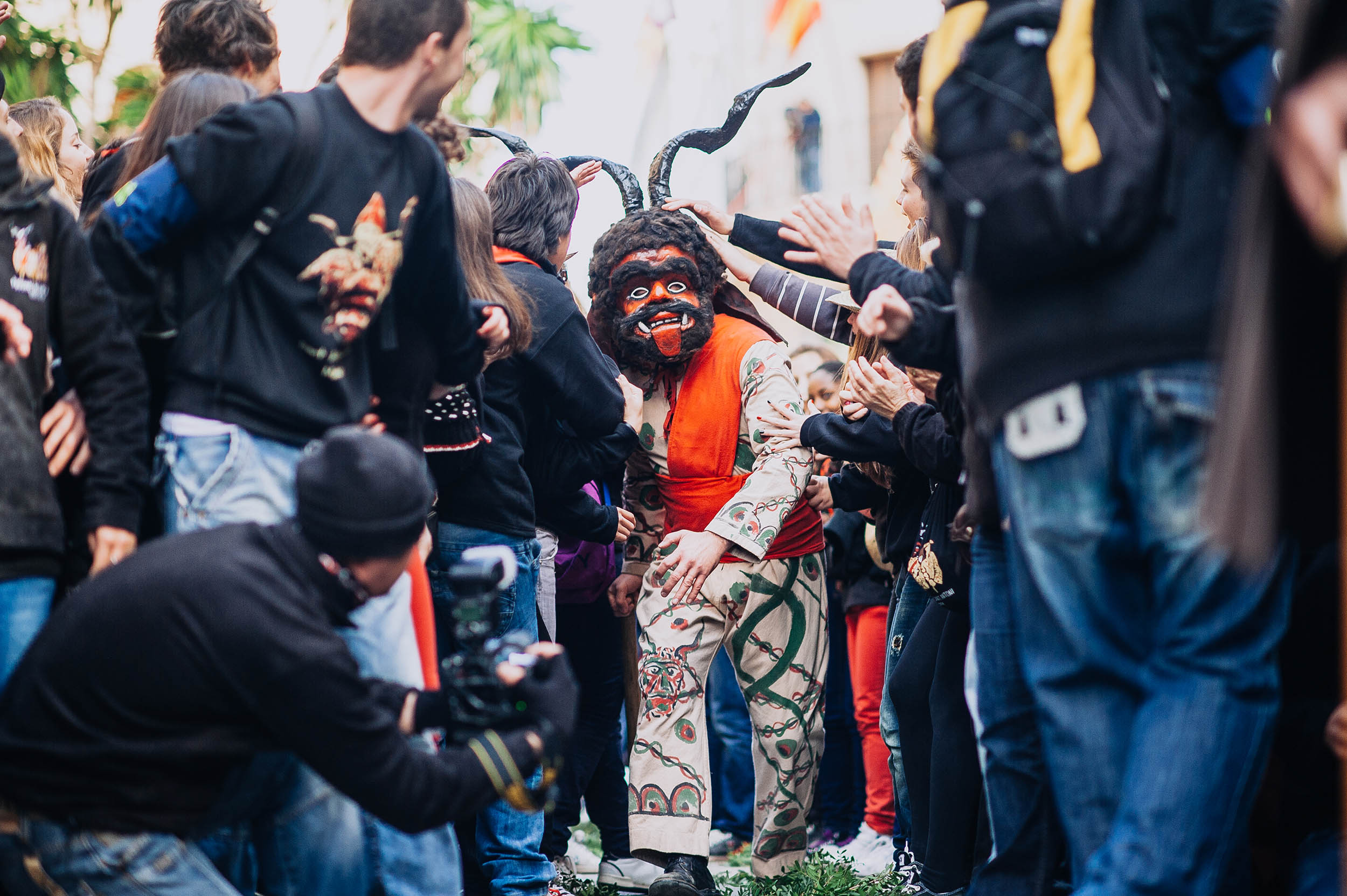
 facts were the foundation of the convent Sant Vicenç Ferrer and the outlining of the Fartaritx quarter, where there are all the windmills that marked the appearance of this part of the town. In the year 1576 the preachers order founded the aforementioned convent and the construction of the baroque church began. At the beginning of the following century they started the cloister. With the sale of Church lands in the year 1835 the possessions of the order passed to the hands of the state. The buildings of the cloister were assigned to town services and court.
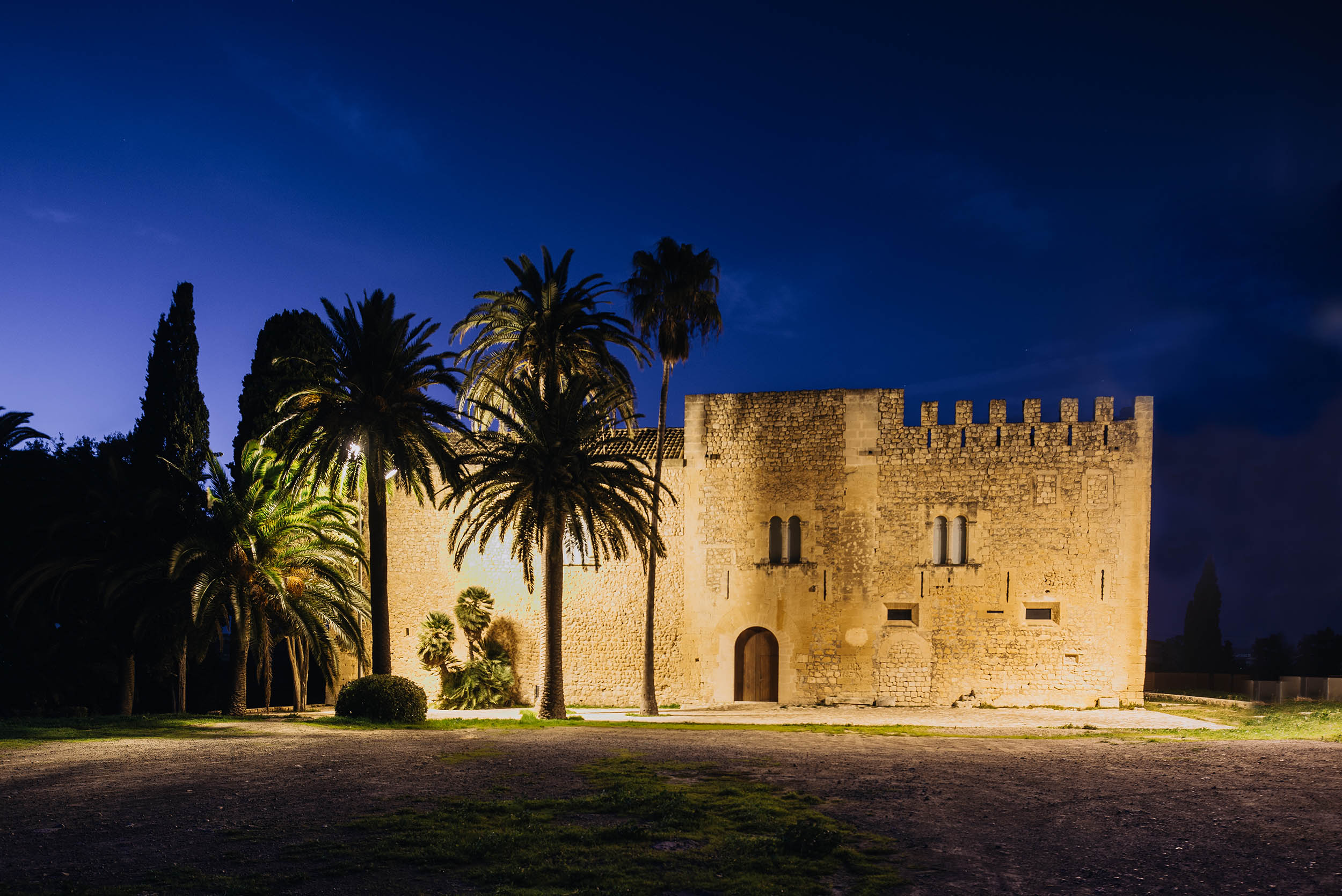
 The development of the economic activity, in addition of tourism in the 60s, did not only modify the customs of the town but also caused a strong town-planning impact. At the end of last century the new parish church Nostra Senyora dels Dolors was built, located on the same place as the former churches. The most ancient of them had been documented in 1232 and had possibly been built upon an Arab mosque (discovery of a funeral inscription, now to be found in the Museu Diocesà of Palma). The bell tower is the most emblematic elemen.. Some of the manor houses were built in the streets Nou, Major, Pius XII, Bosch, etc. At the same time the historical quarters (Fartaritx and es Barracar) were expanded and consolidated. New urbanisations were created around the railroad station and na Camel·la. Actually the most outstanding town-planning growth is taking place at new areas by the school centres and it extends to the avenues Port, Fartaritx and Ferrocarril.
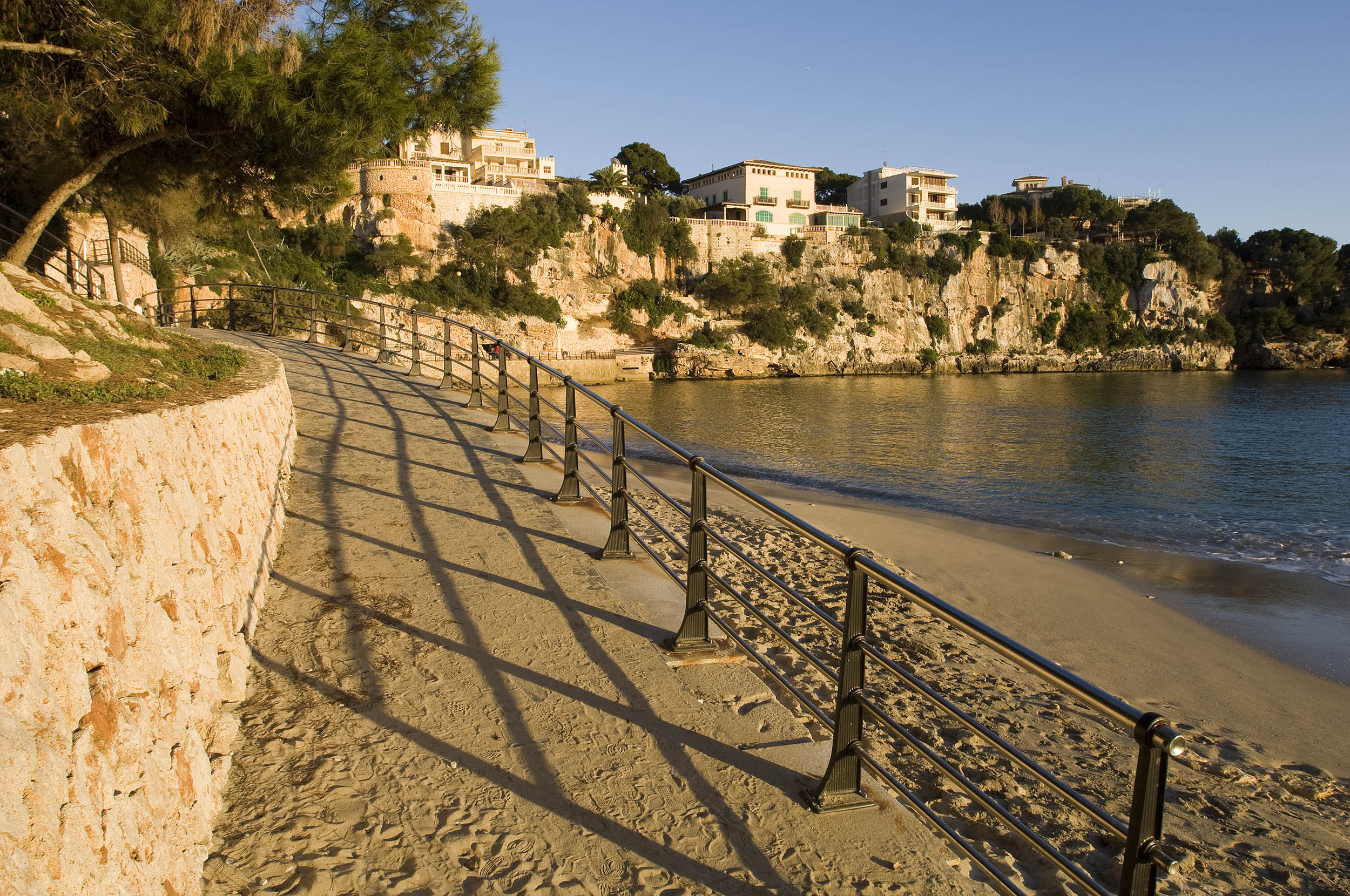